Geography and geology
Most Searched Courses in the Category


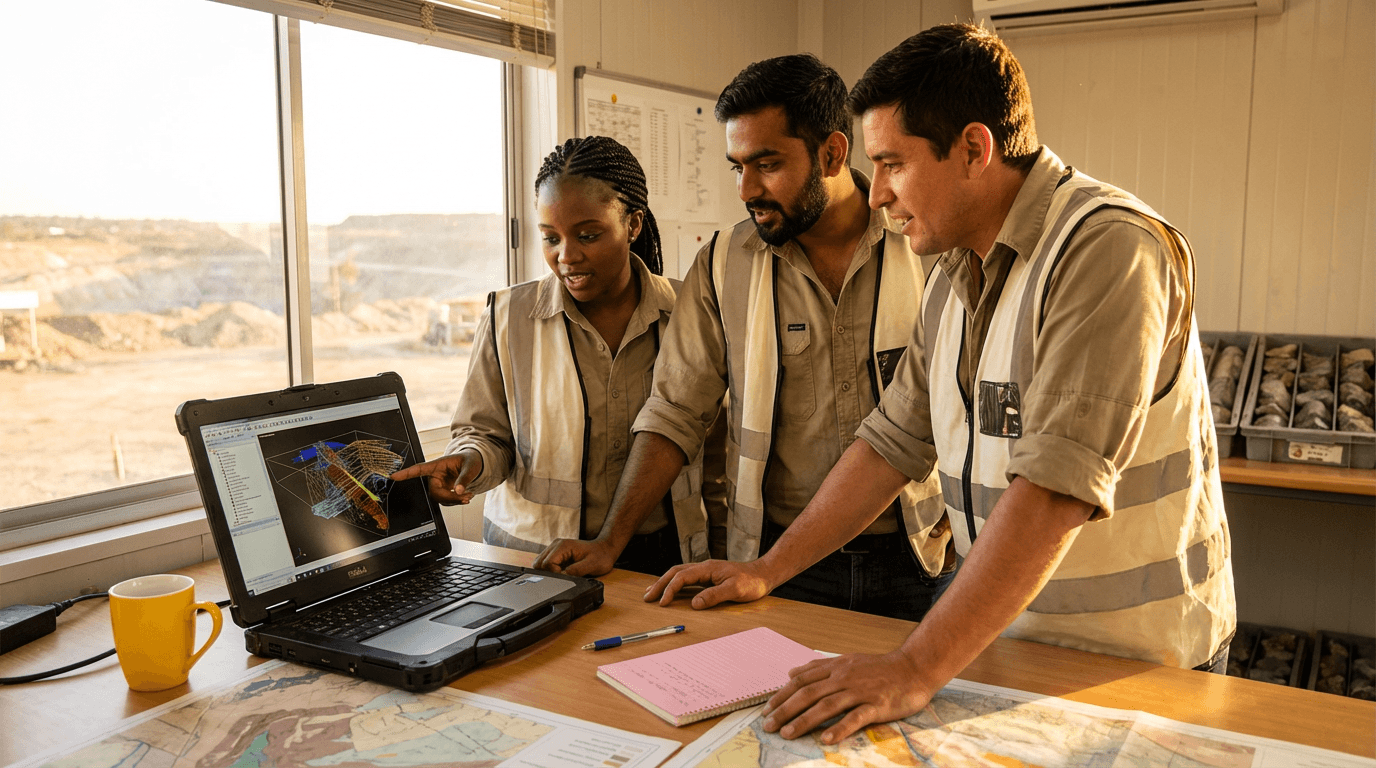

Arcgis course
Master ArcGIS for real-world geography and geology projects. Learn data prep, projections, hydrology layers, overlay analysis, and clear map/report production to assess risk, land-use suitability, and groundwater vulnerability with confidence.

All courses in the category
 GIS CourseStart for free now
 Professional Surveyor TrainingStart for free now
 Intro To GIS CourseStart for free now
 Sedimentology CourseStart for free now
 Surveyor TrainingStart for free now
 Coastal Geomorphology CourseStart for free now
 Geomatics Specialist TrainingStart for free now
 Ground-Penetrating Radar (GPR) TrainingStart for free now
 Advanced Topography CourseStart for free now
 GIS for Forest Surveying CourseStart for free now
 Geobiologist TrainingStart for free now
 Google Earth CourseStart for free now
FAQ
Who is Elevify? How does it work?
Do the courses have certificates?
Are the courses free?
What is the course duration?
What are the courses like?
How do the courses work?
What is the duration of the courses?
What is the cost or price of the courses?
What is an EAD or online course and how does it work?
PDF Course