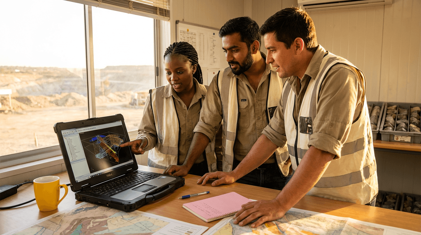
Geography and geology
Most Searched Courses in the Category


QGIS Course
This course equips you with advanced QGIS skills for urban green space planning. Delve into data sourcing, spatial analysis techniques, workflow automation, and map design to create precise, reproducible maps and reports ideal for professionals in geography, geology, and urban planning projects.

All courses in the category
 Remote Sensing CourseStart for free now
 Mining Geology CourseStart for free now
 Google Earth CourseStart for free now
 Geography CourseStart for free now
 Surveyor TrainingStart for free now
 Engineering Geology CourseStart for free now
 Spatial Analysis CourseStart for free now
 Geophysics CourseStart for free now
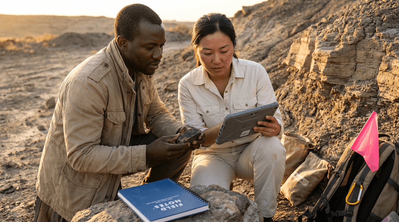 Geochemistry CourseStart for free now
 Geological TrainingStart for free now
 Geological Engineering CourseStart for free now
 GPS TrainingStart for free now
FAQ
Who is Elevify? How does it work?
Do the courses have certificates?
Are the courses free?
What is the course workload?
What are the courses like?
How do the courses work?
What is the duration of the courses?
What is the cost or price of the courses?
What is an EAD or online course and how does it work?
PDF Course