Geography and geology
Most Searched Courses in the Category
Geographic Information Systems (GIS) Course
Gain expertise in GIS for geography and geology applications: process DEMs, analyse land use, erosion risks, and watersheds, develop suitability and sensitivity maps, validate spatial data, and produce professional maps and reports for environmental planning projects.

All courses in the category
- Geographic Information Systems (GIS) CourseStart for free now
 QGIS CourseStart for free now
 Arcgis courseStart for free now
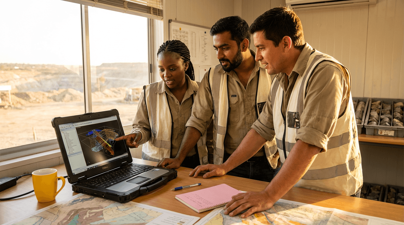 Surpac Software CourseStart for free now
 Geology CourseStart for free now
 Sensing and GIS CourseStart for free now
 Intro To GIS CourseStart for free now
 Hydrogeology CourseStart for free now
 Google Earth Engine CourseStart for free now
 GIS CourseStart for free now
 Theodolite CourseStart for free now
 Bathymetry CourseStart for free now
FAQ
Who is Elevify? How does it work?
Do the courses have certificates?
Are the courses free?
What is the course workload?
What are the courses like?
How do the courses work?
What is the duration of the courses?
What is the cost or price of the courses?
What is an EAD or online course and how does it work?
PDF Course