Geography and geology
Most Sought Courses in the Category
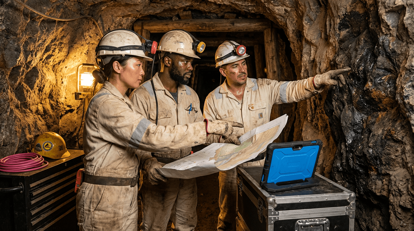


Surpac Software Course
This course equips you to excel in Surpac for practical mine planning needs. You will cover importing drillholes, geological modelling, setting up block models, optimising pit shells, and producing reports, transforming basic geological and terrain data into reliable resource assessments and open-pit layouts with assurance.

All courses in the category
 Blasting Techniques CourseStart for free now
 Advanced Rural Geography CourseStart for free now
 Bathymetry CourseStart for free now
 Cartography CourseStart for free now
 Drilling Operator CourseStart for free now
 Drone Photogrammetry TrainingStart for free now
 Directional Drilling CourseStart for free now
 Atmospheric Circulation CourseStart for free now
 Cumulonimbus CourseStart for free now
 Atmospheric Stability CourseStart for free now
 Climatic Geomorphology CourseStart for free now
 Continental Drift CourseStart for free now
FAQ
Who is Elevify? How does it work?
Do the courses have certificates?
Are the courses free?
What is the course workload?
What are the courses like?
How do the courses work?
What is the duration of the courses?
What is the cost or price of the courses?
What is an EAD or online course and how does it work?
PDF Course