Phytogeography Course
Dive into Phytogeography Course to master plant distributions across Zambia and beyond. Map species ranges using occurrence data, ecoregions, and elevation. Link spreads to climate patterns, soil types, land shapes, human activities, and species interactions. Evaluate historical shifts, forecast changes, source data from global databases like GBIF and local floras, then produce professional, concise reports for conservation and land management decisions.
from 4 to 360h flexible workload
certificate valid in your country
What will I learn?
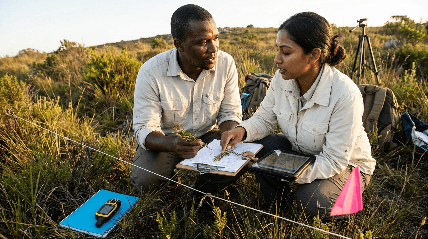
This Phytogeography Course teaches you to pick wild plants, check taxonomy, map ranges with records, ecoregions, and altitude. Connect distributions to climate, soils, terrain, disturbances, biotic factors. Analyse past changes, predict futures, and craft structured, evidence-backed phytogeography reports from varied data sources.
Elevify advantages
Develop skills
- Analyse species ranges by country, biome, and elevation bands.
- Connect climate, soils, and topography to plant distribution limits.
- Evaluate biotic competition, human land use, and invasive impacts on spreads.
- Quickly source phytogeography data from GBIF, IUCN, floras, and herbaria.
- Craft clear, evidence-based phytogeographic reports for experts and decisions.
Suggested summary
Before starting, you can change the chapters and workload. Choose which chapter to start with. Add or remove chapters. Increase or decrease the course workload.What our students say
Your lessons are perfect. I purchased the one-year package and finally have the opportunity to follow various topics of my interest without needing to change platforms... I thank you for everything you do, I've already recommended you to other people...

Giulio CarloDigital Marketing Student
I like how the lessons are straight to the point and how I can change chapters and skip content I don't need.

Mariana FerresPhotography Student
I like the content and the way videos are presented and transcribed, which speeds up the process!

Luciana AlvarengaNail Design Student
The platform is fast, simple to use. The diversity of content and complementary videos help a lot with learning.

André FelipePrompt Engineering Student
FAQ
Who is Elevify? How does it work?
Do the courses have certificates?
Are the courses free?
What is the course workload?
What are the courses like?
How do the courses work?
What is the duration of the courses?
What is the cost or price of the courses?
What is an EAD or online course and how does it work?
PDF Course