Geostatistics Course
Gain mastery in geostatistics for practical resource evaluation in mining and earth sciences. This course covers drillhole data preparation, compositing, variography, spatial analysis, and uncertainty modelling, enabling you to develop defensible models and make robust statistical decisions with confidence in real-world projects.
from 4 to 360h flexible workload
certificate valid in your country
What will I learn?
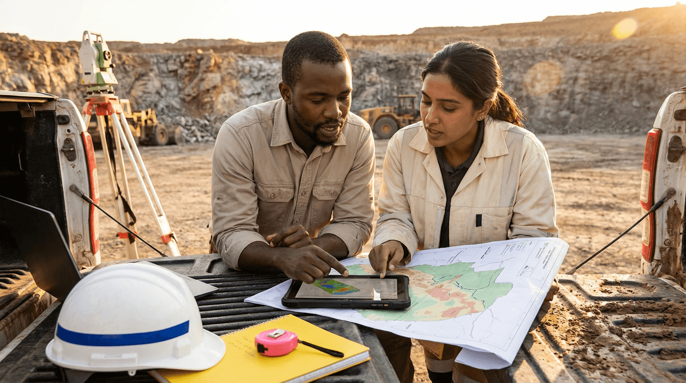
This practical Geostatistics Training Course takes you through drillhole data acquisition, cleaning, QA/QC, compositing, and exploratory analysis using clear, reproducible workflows. Master spatial description, visualisation, variography, anisotropy, and uncertainty quantification, then apply spatiotemporal comparison and resource update techniques to create reliable models and support technical decisions confidently.
Elevify advantages
Develop skills
- Drillhole data preparation: clean, validate, and structure mining databases efficiently.
- Exploratory statistics: identify outliers, cap grades, and justify data treatments.
- Variogram modelling: construct, fit, and validate robust spatial covariance models.
- Spatial analysis: map trends, anisotropy, and clustering to improve targeting.
- Resource updates: re-composite, re-fit, and re-estimate models using new data.
Suggested summary
Before starting, you can change the chapters and the workload. Choose which chapter to start with. Add or remove chapters. Increase or decrease the course workload.What our students say
Your lessons are perfect. I purchased the one-year package and finally have the opportunity to follow various topics of interest without needing to change platforms... I'm grateful for everything you do, I've already recommended you to other people...

Giulio CarloDigital Marketing Student
I like how the lessons are straight to the point and how I can change chapters and skip content I don't need.

Mariana FerresPhotography Student
I like the content and the way videos are presented and transcribed, which speeds up the process!

Luciana AlvarengaNail Design Student
The platform is fast, simple to use. The diversity of content and complementary videos really help with learning.

André FelipePrompt Engineering Student
FAQ
Who is Elevify? How does it work?
Do the courses have certificates?
Are the courses free?
What is the course workload?
What are the courses like?
How do the courses work?
What is the duration of the courses?
What is the cost or price of the courses?
What is an EAD or online course and how does it work?
Course in PDF