Geostatistics Course
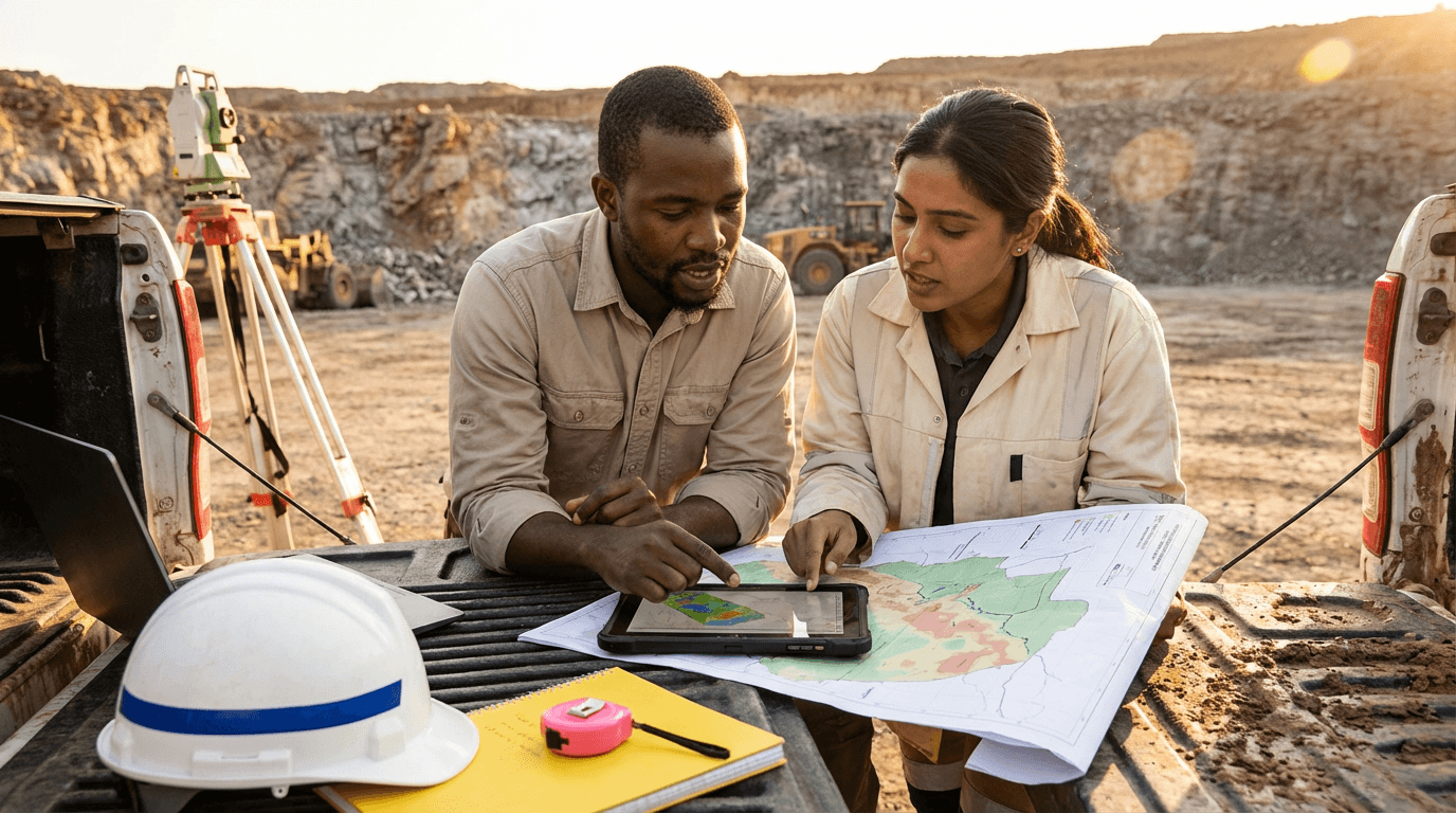
This course teaches essential geostatistics for mining and earth sciences, focusing on preparing drillhole data, compositing samples, modeling variograms, analyzing spatial trends and anisotropy, quantifying uncertainties, and updating resource models with fresh data to ensure robust, defensible outcomes in real projects.
from 4 to 360h flexible workload
valid certificate in your country
What will I learn?
Gain practical skills in geostatistics through this course, covering drillhole data handling, cleaning, quality checks, compositing, and initial analysis using reliable methods. Explore spatial patterns, visuals, variograms, directional effects, and error assessment, then use time-space comparisons and resource updating to create solid models and support decisions confidently.
Elevify advantages
Develop skills
- Prepare drillhole data by cleaning, validating, and organizing mining databases efficiently.
- Perform exploratory statistics to identify outliers, adjust grades, and explain data processes.
- Model variograms by constructing, fitting, and validating strong spatial correlation structures.
- Conduct spatial analysis to identify trends, directions, and clusters for improved planning.
- Update resources by re-compositing, re-modeling, and re-estimating with updated information.
Suggested summary
Before starting, you can change the chapters and the workload. Choose which chapter to start with. Add or remove chapters. Increase or decrease the course workload.What our students say
Your classes are perfect. I purchased the one-year package and finally have the opportunity to follow various topics of my interest without needing to change platforms... I thank you for everything you do, I've already recommended you to other people...

Giulio CarloDigital Marketing Student
I like how the lessons are straight to the point and how I can switch chapters and skip content I don't need.

Mariana FerresPhotography Student
I like the content and the way videos are presented and transcribed, which speeds up the process!

Luciana AlvarengaNail Design Student
The platform is fast, simple to use. The diversity of content and complementary videos help a lot with learning.

André FelipePrompt Engineering Student
FAQ
Who is Elevify? How does it work?
Do the courses have certificates?
Are the courses free?
What is the course workload?
What are the courses like?
How do the courses work?
What is the duration of the courses?
What is the cost or price of the courses?
What is an EAD or online course and how does it work?
PDF Course