Geography and geology
Most Searched Courses in the Category


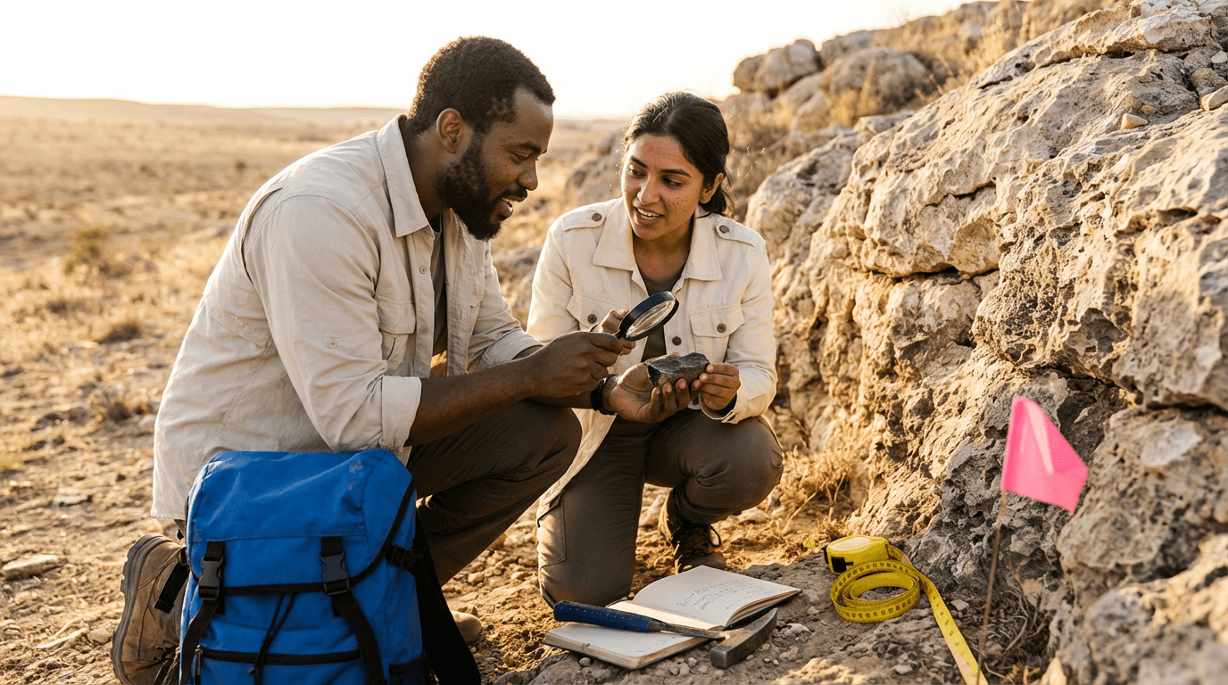
Topographic GPS/GNSS Surveying Course
Gain expertise in topographic GPS/GNSS surveying for geology and geography projects in Namibia. Master control networks, datums, RTK workflows, data processing, quality assurance, and deliverables to create precise maps, terrain models, and engineering-ready survey data that meets professional standards.

All courses in the category
 Topographic Map CourseStart for free now
 Urban Sociology CourseStart for free now
 Mining and Geology CourseStart for free now
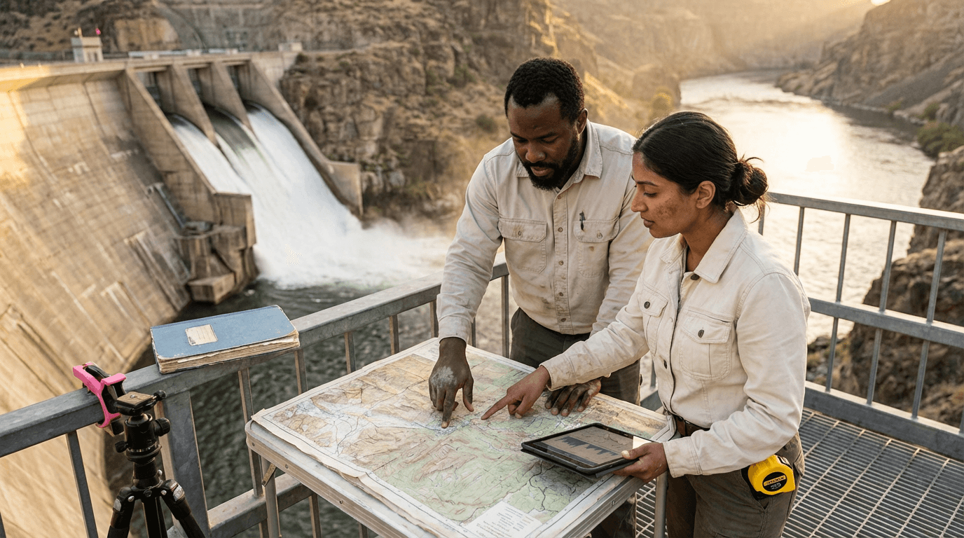 Dam Engineering CourseStart for free now
 Topographic Cartography CourseStart for free now
 Geomorphology CourseStart for free now
 Relief Studies CourseStart for free now
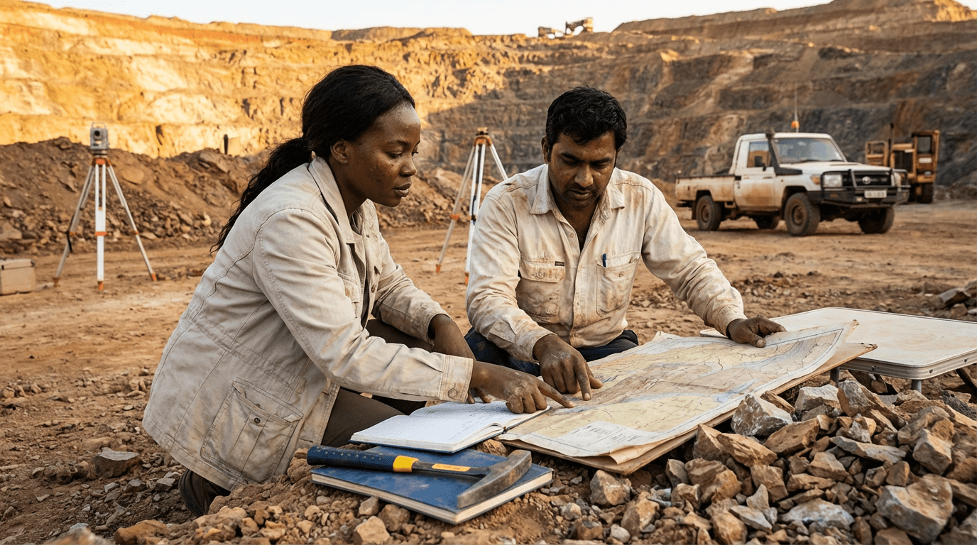 Mining and Exploration Geology CourseStart for free now
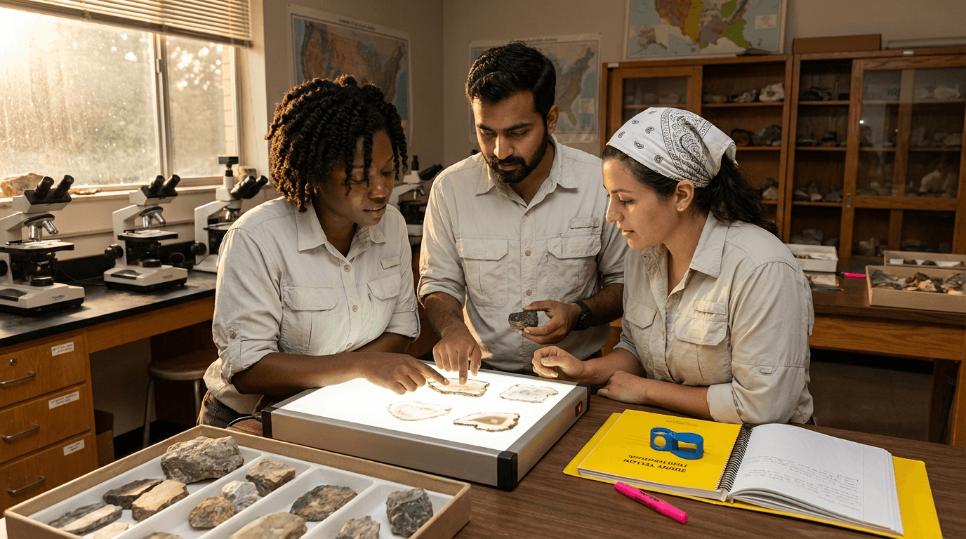 Petrography CourseStart for free now
 Latin America Studies CourseStart for free now
 Physical Geography CourseStart for free now
 Sedimentology CourseStart for free now
FAQ
Who is Elevify? How does it work?
Do the courses have certificates?
Are the courses free?
What is the course workload?
What are the courses like?
How do the courses work?
What is the duration of the courses?
What is the cost or price of the courses?
What is an EAD or online course and how does it work?
PDF Course