Rural Geography Course
Gain expertise in rural geography through practical mapping, satellite analysis, and spatial techniques. Master interpreting land use patterns, identifying changes, and creating precise, evidence-based reports to inform rural planning, farming, and environmental management in countryside settings.
from 4 to 360h flexible workload
valid certificate in your country
What will I learn?
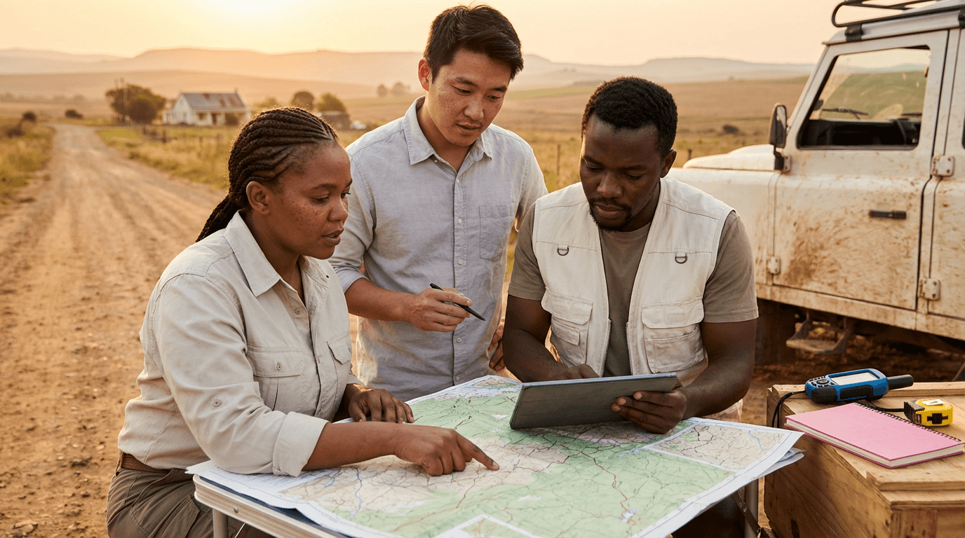
This course equips you with hands-on skills to examine rural areas using free data, satellite images, and basic mapping techniques. You will learn to choose and map regions, create settlement and land-use maps, analyse changes over time, identify main influences, and produce clear reports with repeatable methods and strong visuals for effective rural evaluations.
Elevify advantages
Develop skills
- Remote sensing in rural contexts: rapidly find, evaluate, and contrast satellite images.
- Rural land-use mapping: construct accurate settlement and land-cover maps using open data.
- Spatial analysis of patterns: apply buffers, overlays, and measurements to understand rural structures.
- Change detection expertise: identify farm abandonment, increased use, and edge expansion via maps.
- Professional reporting skills: develop clear maps, tables, and repeatable GIS reports for rural studies.
Suggested summary
Before starting, you can change the chapters and workload. Choose which chapter to start with. Add or remove chapters. Increase or decrease the course workload.What our students say
Your classes are perfect. I purchased the one-year package and finally have the opportunity to follow various topics of my interest without needing to switch platforms... I thank you for everything you do, I've already recommended you to other people...

Giulio CarloDigital Marketing Student
I like how the lessons are straight to the point and how I can switch chapters and skip content I don't need.

Mariana FerresPhotography Student
I like the content and the way videos are presented and transcribed, which speeds up the process!

Luciana AlvarengaNail Design Student
The platform is fast, simple to use. The diversity of content and complementary videos really help with learning.

André FelipePrompt Engineering Student
FAQ
Who is Elevify? How does it work?
Do the courses have certificates?
Are the courses free?
What is the course workload?
What are the courses like?
How do the courses work?
What is the duration of the courses?
What is the cost or price of the courses?
What is an EAD or online course and how does it work?
PDF Course