Plate Tectonics Course
Gain a solid grasp of plate tectonics through practical case studies from places like the San Andreas Fault and Himalayas. Learn to interpret GPS and seismic data, connect plate movements to earthquakes and tsunamis, and create straightforward reports for risk assessment, land planning, and smart geologic choices. Perfect for building key skills in earth sciences.
from 4 to 360h flexible workload
valid certificate in your country
What will I learn?
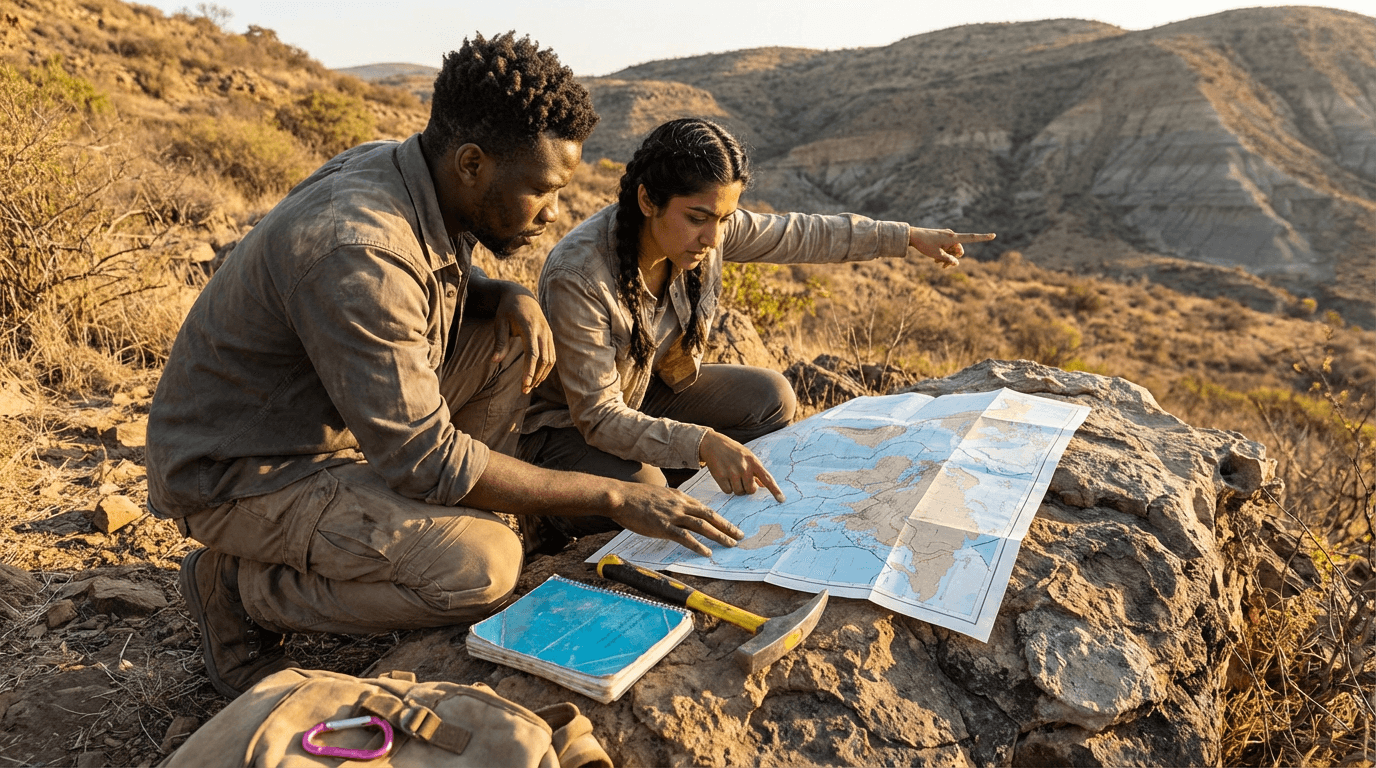
This course offers a focused look at Earth's inner layers, how plates move, and the different boundaries between them. It uses real examples like the San Andreas Fault, Andes Mountains, Himalayas, Mid-Atlantic Ridge, and East African Rift. You'll also pick up skills in research methods, data handling, and writing reports that clearly explain evidence and analyse hazards.
Elevify advantages
Develop skills
- Quickly spot and classify divergent, convergent, and transform plate boundaries.
- Use GPS, seismic data, and InSAR to track plate movements.
- Prepare clear reports on major tectonic features with solid sources.
- Connect plate activity to earthquakes, tsunamis, and hazard risks.
- Write simple, clear summaries of complex tectonic ideas.
Suggested summary
Before starting, you can change the chapters and workload. Choose which chapter to start with. Add or remove chapters. Increase or decrease the course workload.What our students say
Your classes are perfect. I purchased the one-year package and finally have the opportunity to follow various topics of my interest without needing to switch platforms... I thank you for everything you do, I've already recommended you to other people...

Giulio CarloDigital Marketing Student
I like how the lessons are straight to the point and how I can switch chapters and skip content I don't need.

Mariana FerresPhotography Student
I like the content and the way videos are presented and transcribed, which speeds up the process!

Luciana AlvarengaNail Design Student
The platform is fast, simple to use. The diversity of content and complementary videos really help with learning.

André FelipePrompt Engineering Student
FAQ
Who is Elevify? How does it work?
Do the courses have certificates?
Are the courses free?
What is the course workload?
What are the courses like?
How do the courses work?
What is the duration of the courses?
What is the cost or price of the courses?
What is an EAD or online course and how does it work?
PDF Course