Photointerpretation Course
Master hands-on photointerpretation fi read aerial an satellite pics in geography an geology work. Learn fi pick out landforms, buildings, dangers, an land-use shifts, turnin visual proof inna clear, trustworthy insights fi plannin. Wi cover feature mappin, risk readin, classification, change trackin, an pro reports—all fi boost yuh expertise quick.
from 4 to 360h flexible workload
valid certificate in your country
What will I learn?
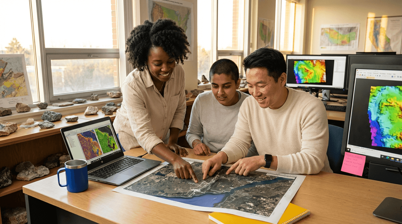
This course builds real-world skills fi read aerial an satellite images wid confidence. Yuh learn fi spot infrastructure, land cover, land use, geomorphic features, an hazards usin clear visual cues an step-by-step methods. Practice detectin changes, notin uncertainties, an writin tight, structured reports fi solid, evidence-back decisions.
Elevify advantages
Develop skills
- High-precision feature mappin: quick spot roads, fields, an urban setups.
- Geomorphic risk readin: check images fi floods, erosion, an landslides.
- Land-cover classification: use visual keys fi fast, steady mappin.
- Time-series change detection: track builds, forest loss, an crop changes.
- Professional reportin: write clear, solid photointerpretation summaries.
Suggested summary
Before starting, you can change the chapters and the workload. Choose which chapter to start with. Add or remove chapters. Increase or decrease the course workload.What our students say
Your classes are perfect. I purchased the one-year package and finally have the opportunity to follow various topics of my interest without needing to change platforms... I'm grateful for everything you do, I've already recommended you to other people...

Giulio CarloDigital Marketing Student
I like how the lessons are straight to the point and how I can change chapters and skip content I don't need.

Mariana FerresPhotography Student
I like the content and the way videos are presented and transcribed, which speeds up the process!

Luciana AlvarengaNail Design Student
The platform is fast, simple to use. The diversity of content and complementary videos help a lot with learning.

André FelipePrompt Engineering Student
FAQ
Who is Elevify? How does it work?
Do the courses come with a certificate?
Are the courses free?
What is the course duration?
What are the courses like?
How do the courses work?
What is the course time?
What is the cost or price of the courses?
What is an EAD or online course and how does it work?
PDF Course