Coastal Geomorphology Course
Master coastal geomorphology to analyse shoreline changes, sediment dynamics, and storm effects, then transform your insights into practical, actionable strategies for real-world coastal management projects in geography and geology, equipping you for effective environmental decision-making.
flexible workload of 4 to 360h
valid certificate in your country
What will I learn?
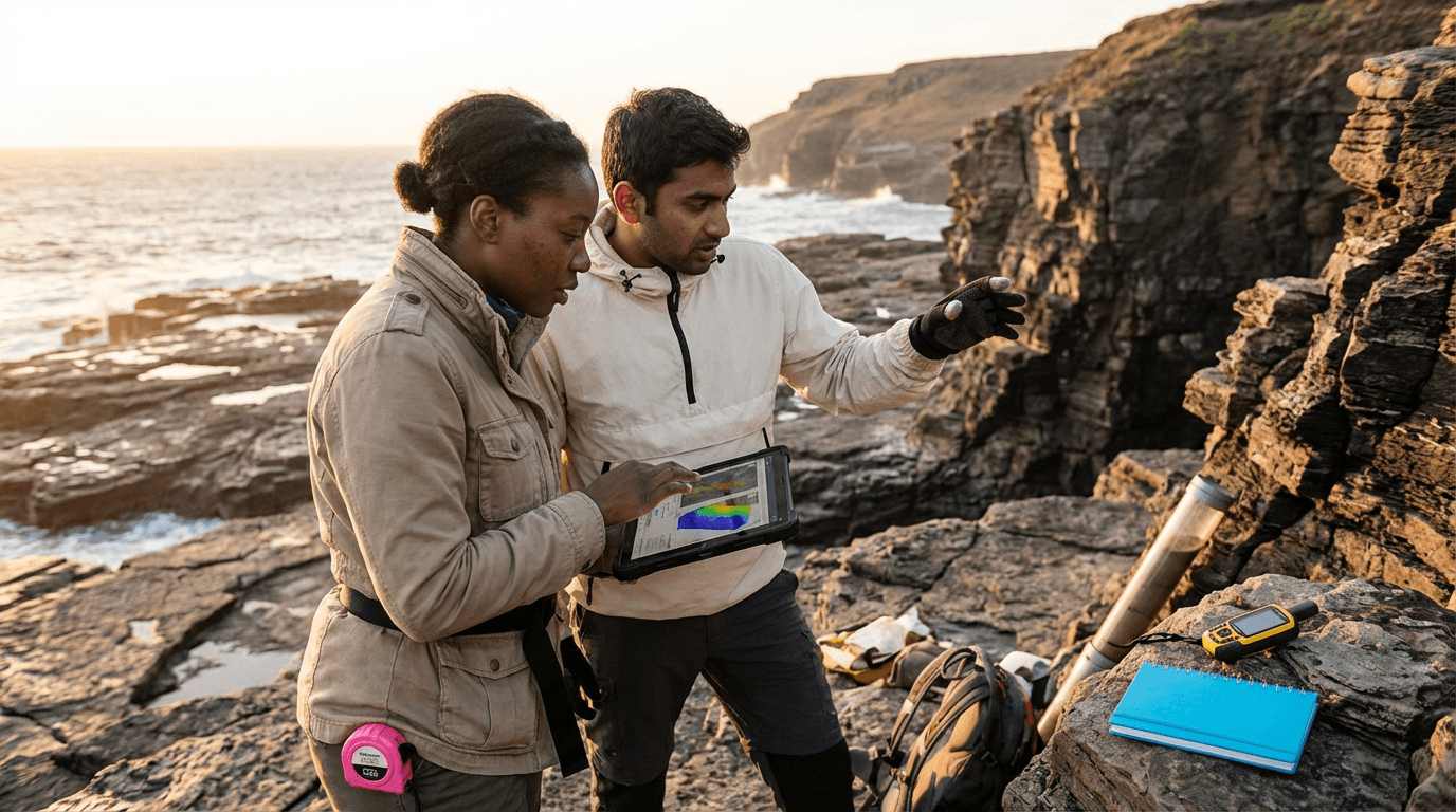
Gain hands-on skills in analysing wave patterns, tides, storms, and sea-level shifts, mapping coastal features, and assessing sediment movement with real data, GIS tools, and remote sensing. Develop conceptual models for sediment transport, assess management strategies, and craft clear, evidence-backed reports for coastal planning and risk reduction.
Elevify advantages
Develop skills
- Analyse coastal waves, tides, and storm data to identify rapid shoreline changes.
- Map and classify beaches, dunes, estuaries, and inlets using GIS and remote sensing.
- Quantify sediment transport and create clear conceptual models.
- Evaluate hard, soft, and nature-based options for coastal protection.
- Produce concise, evidence-based reports for agencies and decision-makers.
Suggested summary
Before starting, you can change the chapters and the workload. Choose which chapter to start with. Add or remove chapters. Increase or decrease the course workloadWhat our students say
Your lessons are perfect. I purchased the one-year package and finally have the opportunity to follow various topics of my interest without needing to change platforms... I thank you for everything you do, I've already recommended you to other people...

Giulio CarloDigital Marketing Student
I like how the lessons are straight to the point and how I can change chapters and skip content I don't need.

Mariana FerresPhotography Student
I like the content and the way videos are presented and transcribed, which speeds up the process!

Luciana AlvarengaNail Design Student
The platform is fast, simple to use. The diversity of content and complementary videos help a lot with learning.

André FelipePrompt Engineering Student
FAQ
Who is Elevify? How does it work?
Do the courses have certificates?
Are the courses free?
What is the course workload?
What are the courses like?
How do the courses work?
What is the duration of the courses?
What is the cost or price of the courses?
What is an EAD or online course and how does it work?
PDF Course