Geography and geology
Most Searched Courses in the Category
Geology and Petroleum Course
This course provides practical skills for evaluating Permian Basin opportunities in geology and petroleum, covering exploration to early production, including well planning, seismic interpretation, reservoir evaluation, and risk reduction.

All courses in the category
- Geology and Petroleum CourseStart for free now
 Geophysics CourseStart for free now
 Mining Geotechnics CourseStart for free now
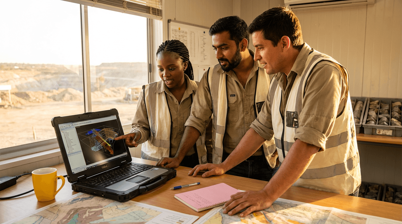 Surpac Software CourseStart for free now
 Hydrogeologist CourseStart for free now
 Land Navigation CourseStart for free now
 Mining Geophysics CourseStart for free now
 Google Earth Engine CourseStart for free now
 Google Earth CourseStart for free now
 Laboratory Geologist CourseStart for free now
 Gold Exploration CourseStart for free now
 Meteorology CourseStart for free now
FAQ
Who is Elevify? How does it work?
Do the courses have certificates?
Are the courses free?
What is the course workload?
What are the courses like?
How do the courses work?
What is the duration of the courses?
What is the cost or price of the courses?
What is an EAD or online course and how does it work?
PDF Course