Expert Surveyor Training
4.7/5
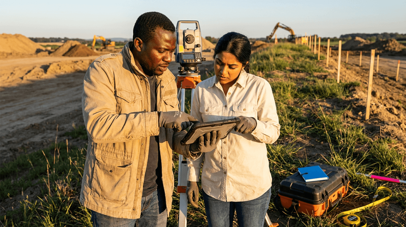
Gain expertise in boundary law, survey evidence analysis, and modern positioning systems to tackle complex property boundaries assuredly. Expert Surveyor Training provides geography and geology experts with abilities to decipher records, uphold reports, and guide critical land choices in professional settings.
4.7 in the evaluation
from 4 to 360h flexible workload
valid certificate in your country
What will I learn?
This course equips you with hands-on skills to examine historical records, understand property deeds, and rebuild intricate boundaries confidently. You will master metes-and-bounds methods, watercourse principles, geomorphology indicators, survey evidence assessment, and contemporary positioning tools. Then, create robust legal descriptions, precise plats, and authoritative reports that hold firm in disputes, talks, and legal proceedings.
Elevify advantages
Develop skills
- Mastery of boundary law: utilise property regulations for intricate survey choices.
- Analysis of historical deeds: unravel title chains and settle conflicting descriptions.
- Advanced surveying measurements: employ GNSS, total stations, and datums for accurate boundaries.
- Drafting legal descriptions: produce clear, robust metes-and-bounds documents swiftly.
- Handling expert disputes: aid discussions, mediation, and court evidence presentation.
Suggested summary
Before starting, you can change the chapters and the workload. Choose which chapter to start with. Add or remove chapters. Increase or decrease the course workload.What our students say
Your lessons are perfect. I purchased the one-year package and finally have the opportunity to follow various topics of interest without needing to change platforms... I thank you for everything you do, I've already recommended you to other people...

Giulio CarloDigital Marketing Student
I like how the lessons are straight to the point and how I can change chapters and skip content I don't need.

Mariana FerresPhotography Student
I like the content and the way videos are presented and transcribed, which speeds up the process!

Luciana AlvarengaNail Design Student
The platform is fast, simple to use. The diversity of content and complementary videos really help with learning.

André FelipePrompt Engineering Student
FAQ
Who is Elevify? How does it work?
Do the courses have certificates?
Are the courses free?
What is the course duration?
What are the courses like?
How do the courses work?
What is the duration of the courses?
What is the cost or price of the courses?
What is an EAD or online course and how does it work?
PDF Course