Advanced Topography Course
This course equips participants with advanced topography skills for practical applications in geography and geology. Learners master precise surveying techniques, GNSS systems, UAV photogrammetry, control network design, terrain modelling, and rigorous error control to confidently plan terraces, access roads, drainage, and boundaries. Emphasis is placed on generating accurate DEMs, contours, profiles, maps, and reports while implementing strong quality assurance and risk mitigation strategies to ensure reliable project outcomes.
from 4 to 360h flexible workload
valid certificate in your country
What will I learn?
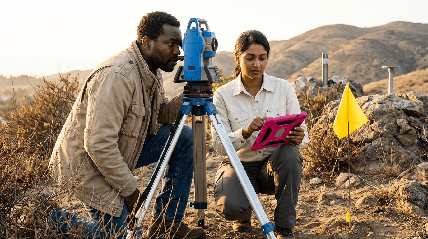
Gain hands-on expertise in advanced topography, including designing control networks, instrument selection, overcoming GNSS challenges, processing point clouds and photogrammetry data, creating precise DEMs and contours, and producing dependable maps, profiles, and reports with comprehensive quality control and risk management for terraces, roads, drainage, and boundaries.
Elevify advantages
Develop skills
- High-precision survey planning for roads, terraces, and boundaries.
- Efficient advanced field workflows for topographic data capture.
- Mastery of control networks using GPS and benchmarks.
- Terrain modelling to produce DTMs, contours, and CAD files.
- Survey quality assurance and risk management techniques.
Suggested summary
Before starting, you can change the chapters and the workload. Choose which chapter to start with. Add or remove chapters. Increase or decrease the course workload.What our students say
Your lessons are perfect. I purchased the one-year package and finally have the opportunity to follow various topics of interest without needing to change platforms... I thank you for everything you do, I've already recommended you to other people...

Giulio CarloDigital Marketing Student
I like how the lessons are straight to the point and how I can change chapters and skip content I don't need.

Mariana FerresPhotography Student
I like the content and the way videos are presented and transcribed, which speeds up the process!

Luciana AlvarengaNail Design Student
The platform is fast, simple to use. The diversity of content and complementary videos really help with learning.

André FelipePrompt Engineering Student
FAQ
Who is Elevify? How does it work?
Do the courses have certificates?
Are the courses free?
What is the course duration?
What are the courses like?
How do the courses work?
What is the duration of the courses?
What is the cost or price of the courses?
What is an EAD or online course and how does it work?
PDF Course