Drones
Most Searched Courses in the Category


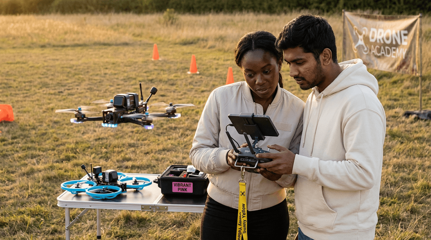
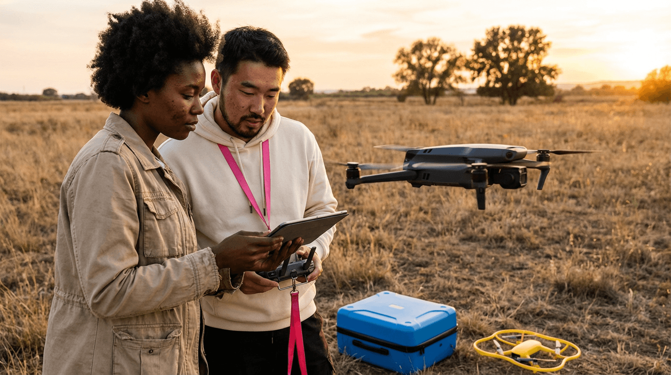
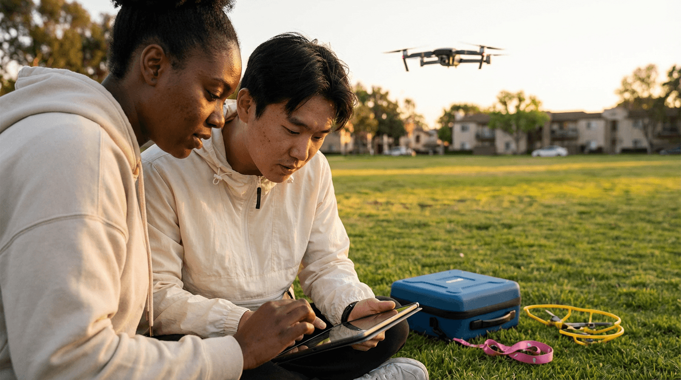
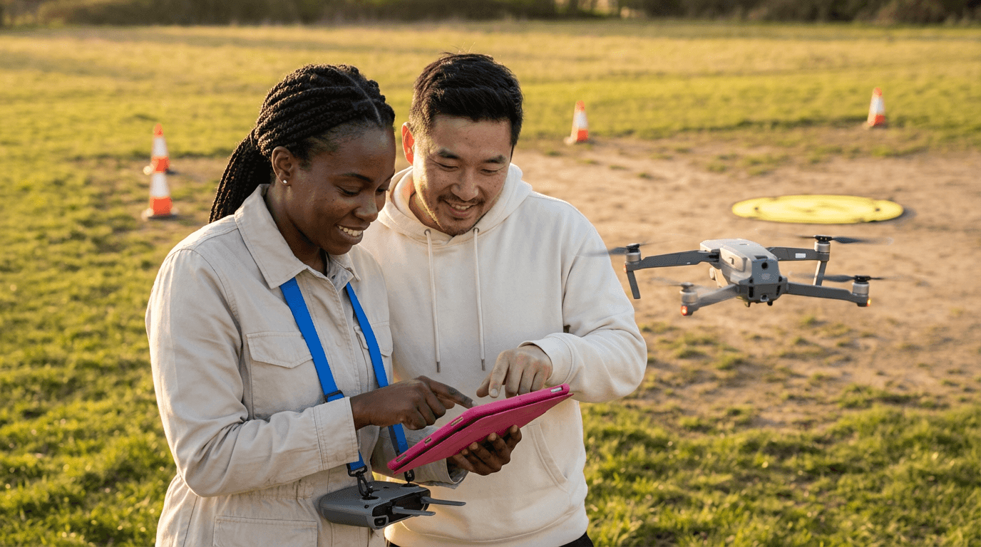


Drone Photogrammetry Course
This course equips you with comprehensive skills in drone photogrammetry, from initial flight planning and data capture to producing engineer-approved maps and models. Explore ground control points, RTK/PPK methods, GSD optimisation, overlap strategies, quality checks, and risk reduction techniques to generate reliable orthomosaics, DSMs, DTMs, plus CAD and GIS deliverables for top-tier surveying applications. Ideal for professionals seeking precision and efficiency in aerial mapping projects.

All courses in the category
 DJI Drone Training CourseStart for free now
 Industrial Drone Inspection CourseStart for free now
 Agricultural Drone Spraying Operator CourseStart for free now
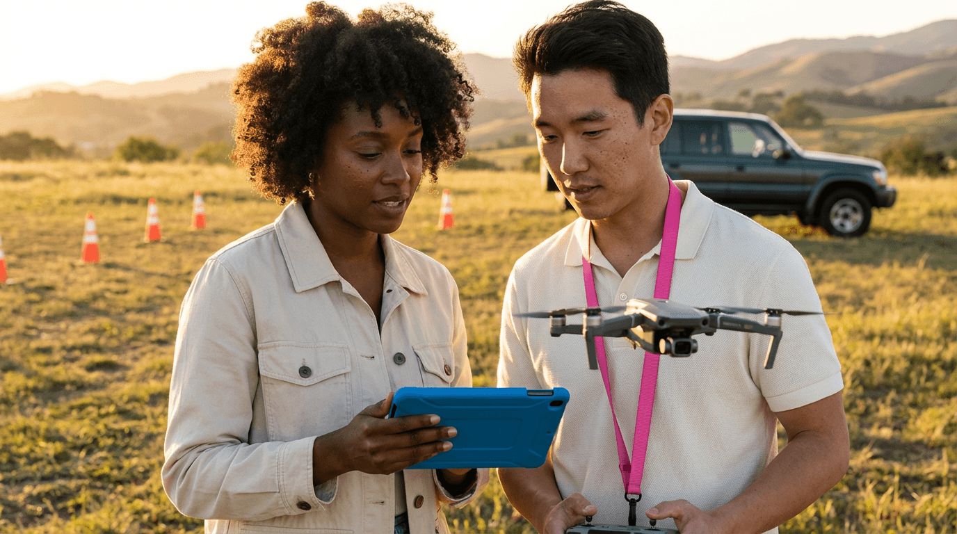 Drone Remote Pilot TrainingStart for free now
 Remotely Piloted Aircraft Systems (RPAS) Specialization CourseStart for free now
 Drone Operations CourseStart for free now
 Professional Drone Operator CourseStart for free now
 Agricultural Drone Pilot CourseStart for free now
 Drone Photography CourseStart for free now
 Remote Aerial Agricultural Application CourseStart for free now
 Planning and Execution of Aerial Spraying Operations CourseStart for free now
 Drone Design CourseStart for free now
FAQ
Who is Elevify? How does it work?
Do the courses have certificates?
Are the courses free?
What is the course workload?
What are the courses like?
How do the courses work?
What is the duration of the courses?
What is the cost or price of the courses?
What is an online course and how does it work?
PDF Course